Advanced Solutions in Geology and Oceanography
Isla Ingeniería is a multi-disciplinary team of professionals dedicates to offer solutions in geology, oceanography, mapping and geographic information systems (GIS).
Services
We offer solutions in geology, oceanography, mapping and GIS with advanced technology and professional experience.
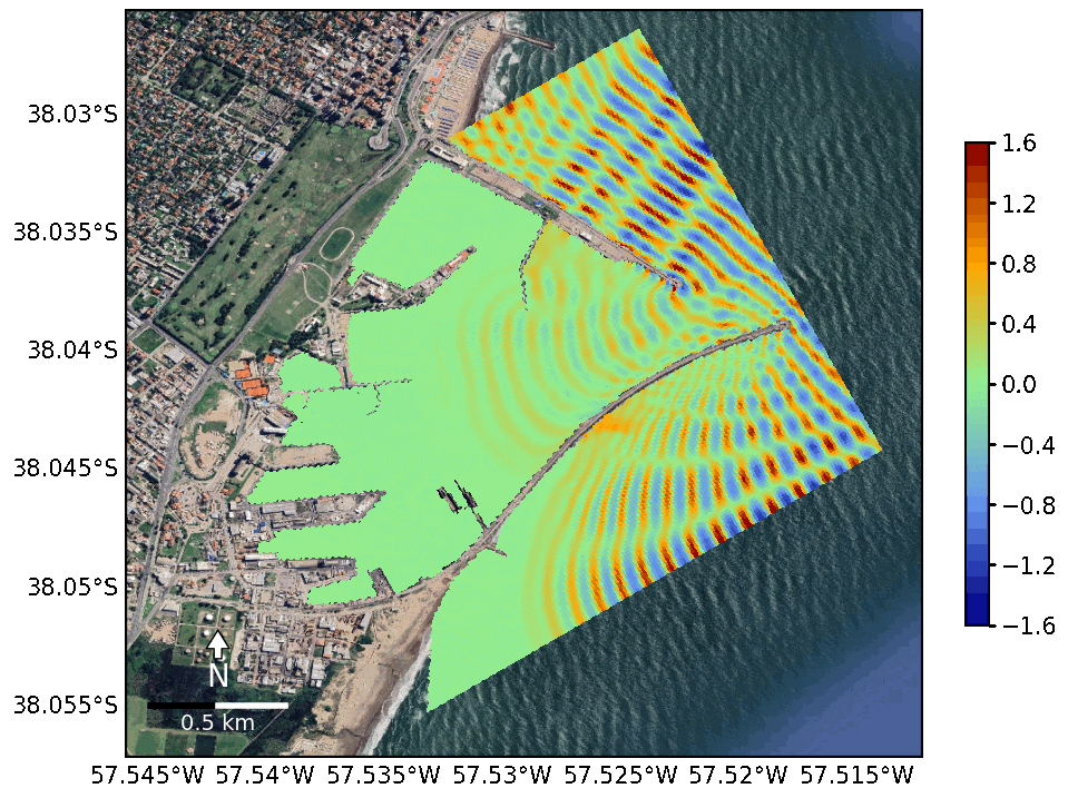
Detailed Analysis of oceanic conditions, providing wave forecast for harbors, offshore plataform, coastline and marine areas.
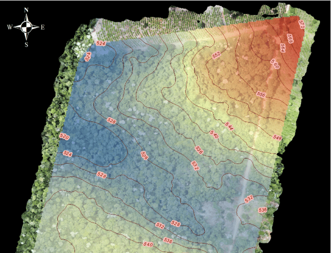
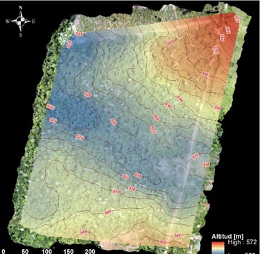
We develop detailed cartography and integrate information of GIS systems for natural resources management, territorail planning and risk analysis.
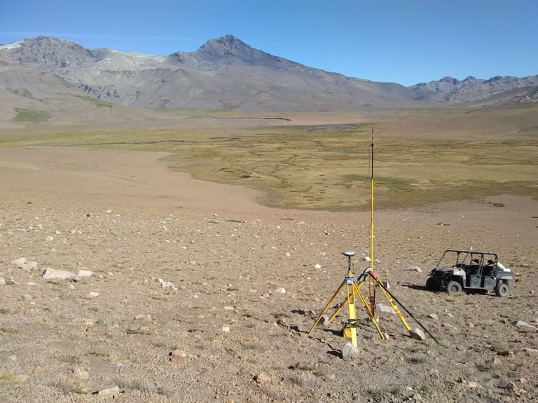
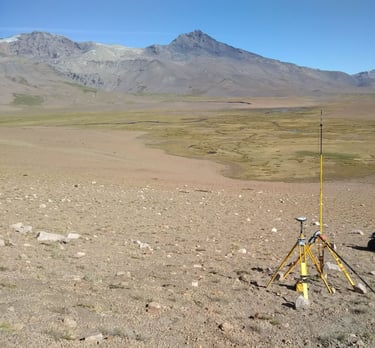
Field surveys and studies to obtain key parameters in engineering, geology and enviromental projects.
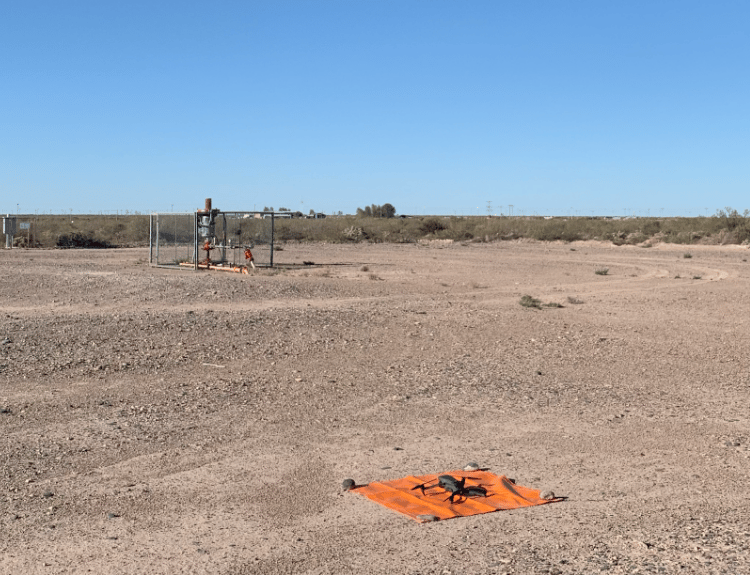
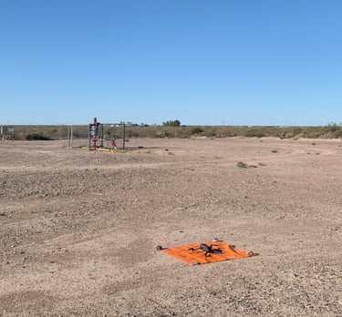
High precision aerial inspections using drones.
