Services
High quality solutions in geology, oceanography, cartography and GIS systems.
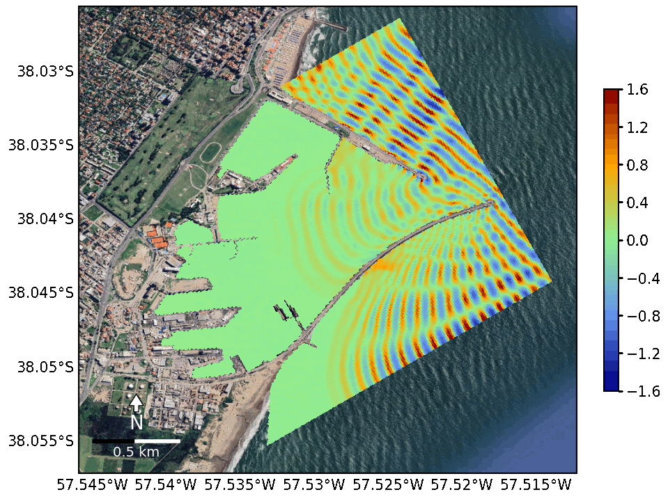
Wave forecast for Harbors, Coastlines and Offshore Areas
Detailed analysis of ocean conditions, providing wave forecasts for ports, offshore platforms, coasts, and maritime areas. Our approach combines artificial intelligence, numerical models, statistical analysis, and satellite data to improve the safety and efficiency of operations at sea.
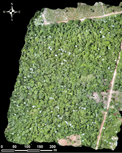
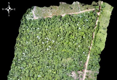
Satelital Images, Cartography and GIS
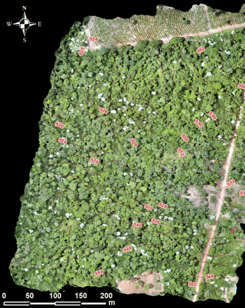
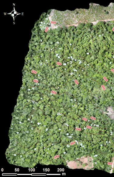
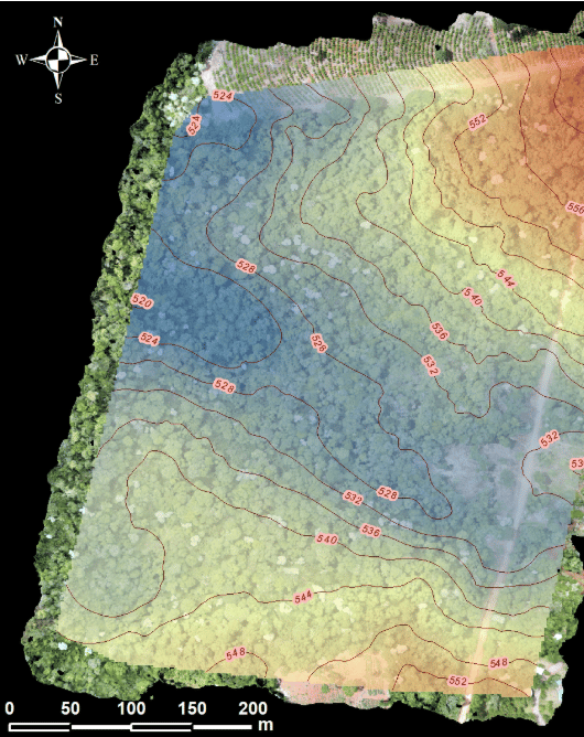
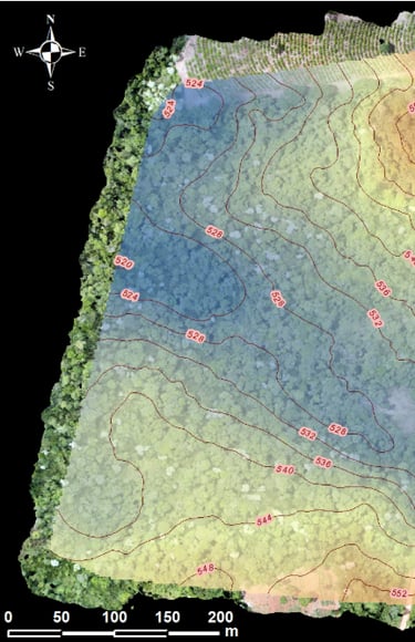
Accurate 3D models from drone and satellite imagery, including orthomosaics, digital elevation models, and digital terrain models; facilitating geospatial analysis for infrastructure, mining, conservation, and urban planning projects.
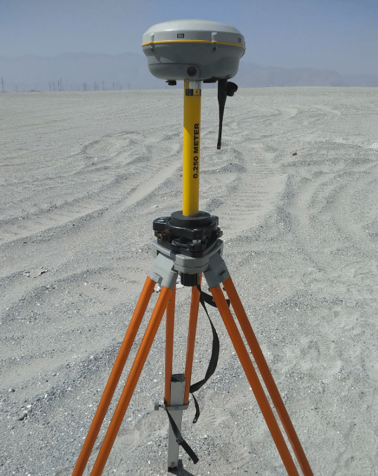
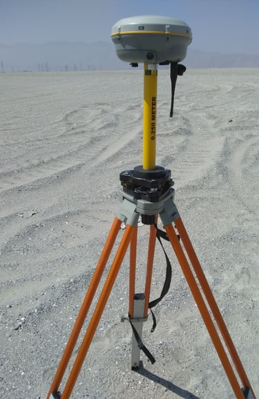
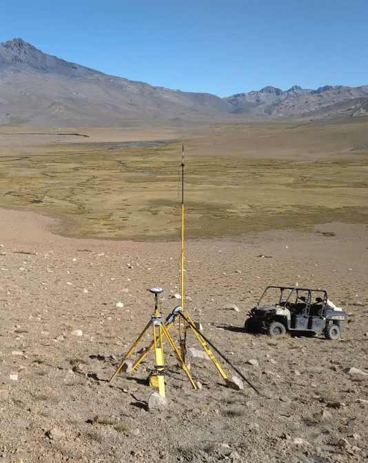
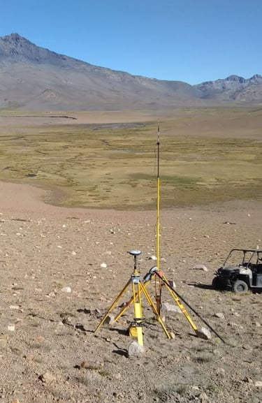
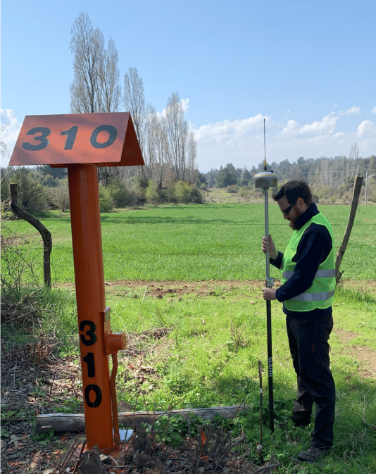
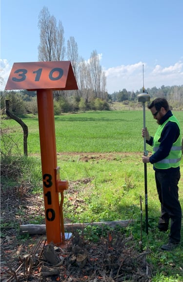
Field Surveys
Field studies and surveys to obtain key data for engineering, geological, and environmental projects. Our team of professionals uses advanced technology to ensure accurate and reliable information collection.
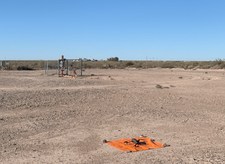
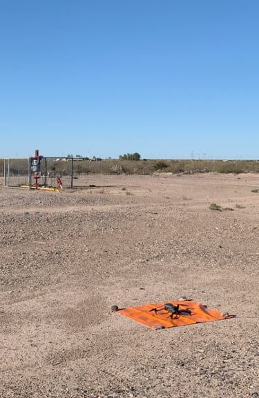
High-precision aerial inspections using drones equipped with advanced sensors. This technology allows us to capture essential data for topographic studies, environmental monitoring, geological surveys, construction supervision, and analysis of hard-to-reach areas.